Canyon Creek Trail
Canyon Creek Trail, North Fork Yuba River
![]()
| Introduction The purpose of this page is to show that a portion of Canyon Creek Trail, which has been designated as OHV accessible on the Tahoe National Forest Route inventory, is not accessible to motorized vehicles. The map in question is here: http://www.fs.fed.us/r5/tahoe/documents/ohv_inv/06_nov_01_quads/StrawberryValley.pdf The portion of the trail in question starts in map section 13, crosses section 14, and ends at Canyon Creek in section 11. These photos and this page are the work of Richard Gorman. You can write me here. |
| Shenanigan Flat to Cherokee Creek From the trailhead to Cherokee Creek, the trail follows the old Indian Valley Road, which was once accessible to vehicles. Landslides and subsidence have made the road inaccessible. |
 |
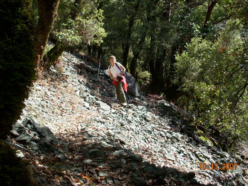
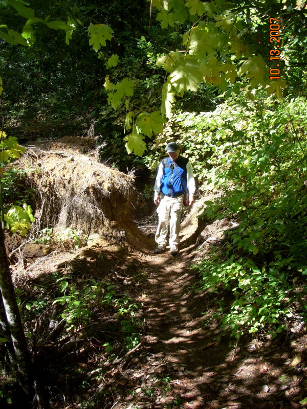
The history of this portion of the North Fork Canyon is one of landslides. There are two recent slides between Shenanigan Flat and Cherokee Creek. This trail over the second slide was graded and reinforced by the Forest Service in spring of 2006. |
 |
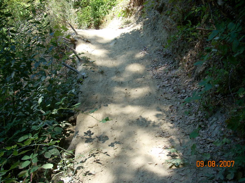
The trail over the slide is barely three-feet wide, and features a steep drop to the river. |
 |
Again, the narrow trail over the slide. |
|
|
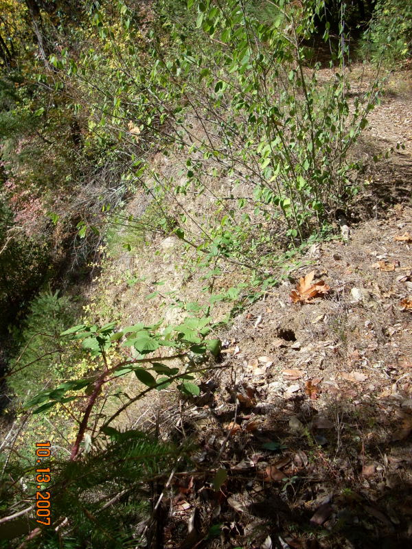
Old landslides have left may steep drop-offs along the trail. The trail is on the upper right, and drops about twenty feet to the narrow ledge where the fir tree is. |
 |
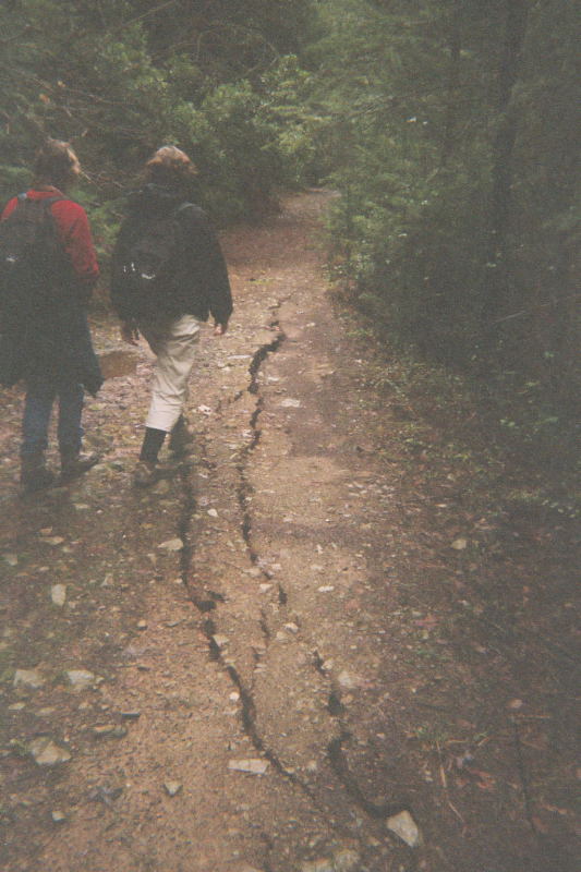
Two sections of the trail past the slides began to subside after the New Years storm of 2006. This recent photo shows that the edge of the road has dropped about one-foot since then. A photo from January 2006 is here. |
| Cherokee Creek to Brummel Ravine There is no evidence to suggest that the motorized accessible trail ever extended beyond Cherokee Creek. Beyond Cherokee, the trail ascends steadily up to the creek crossing in Brummel Ravine. |
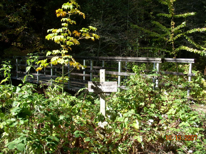 |
The bridge across Cherokee Creek is less than six-feet wide. |
|
|
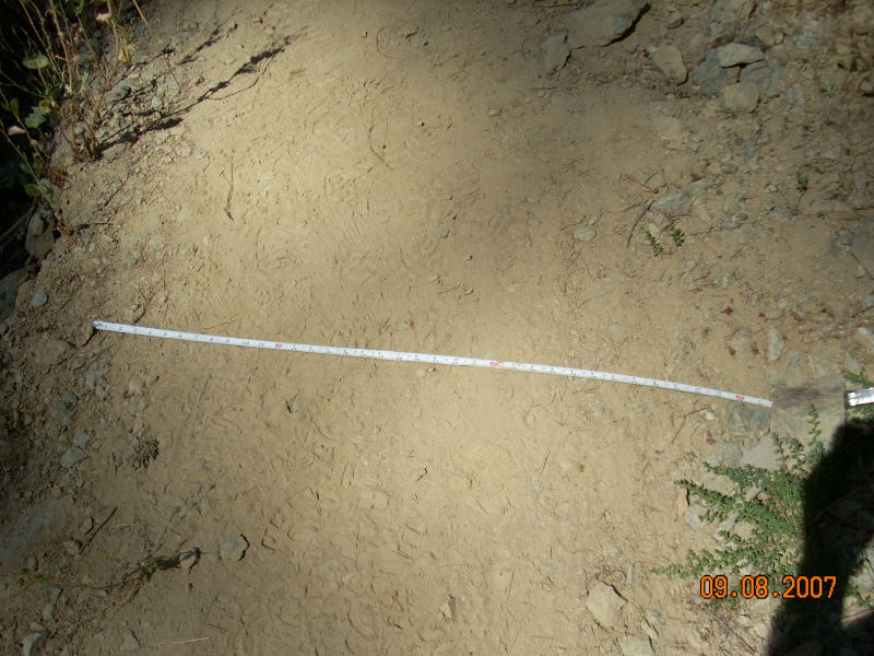
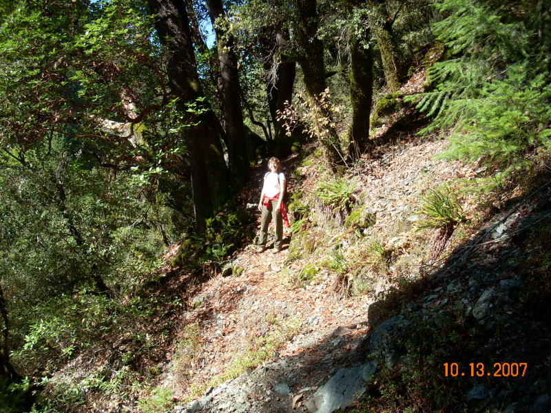
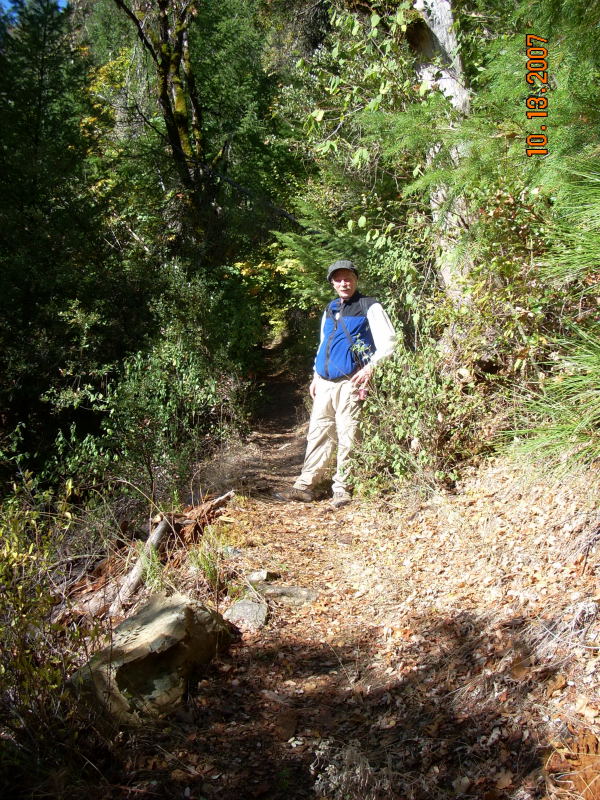
A section of the narrow trail. |
|
|
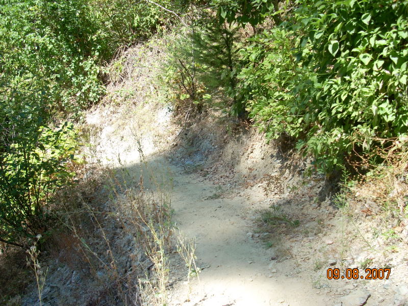
Another section. |
|
|
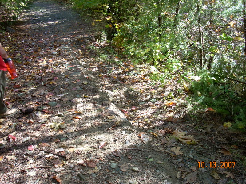
And another. |
|
|
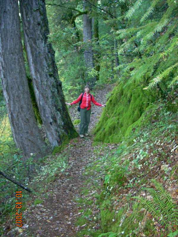
In Brummel Ravine, the trail passes between an outcropping of bedrock and a pair of large trees. |
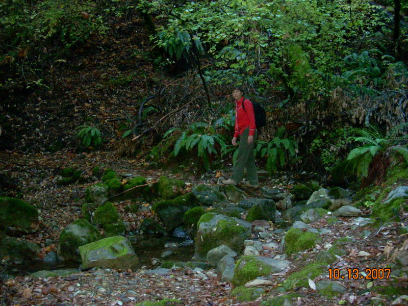 |
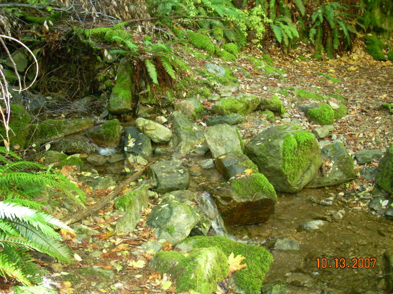
The creek crossing in Brummel Ravine. This is about as low as the water gets in this creek. |
 |
The crossing again, from the other side. |
| Brummel Ravine to Canyon Creek From Brummel Ravine, the trail descends steeply all the way to Canyon Creek. |
 |
Just past the creek crossing. |
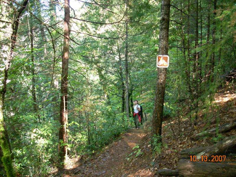 |
As the trail leaves Brummel Ravine, there is an historic "No Trail Bikes" sign, indicating that the trail was once designated as unsuitable for motorized vehicles. |
|
|
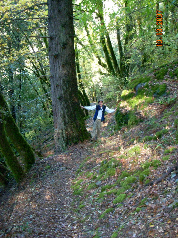
In this portion of the trail, another outcropping of bedrock next to a large tree. |
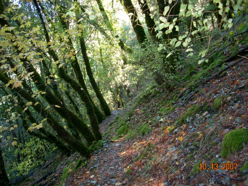 |
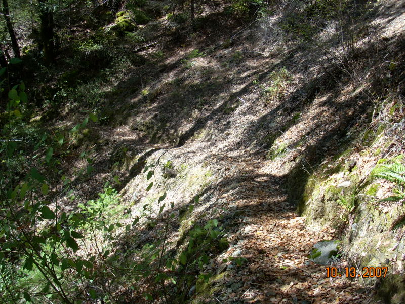
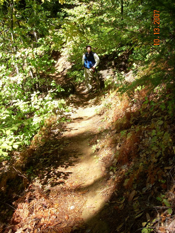
Nearing Canyon Creek, the trail is narrow and rocky. |
 |
More steep, narrow trail. |
 |
A very old stand of Madrone next to another outcropping of bedrock. |
 |
More narrow, rocky trail. |
| Conclusion While there was once a road to Cherokee Creek, it is now impassable in places. Designation of the portion beyond Cherokee Creek as motorized accessible is in error. |
![]()