The Wildflower Impulse
A Work of Richard Gorman
All contents ©Richard J. Gorman 2007 - 2028
![]()
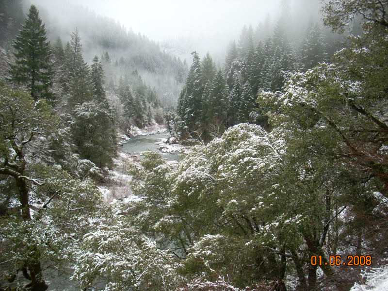
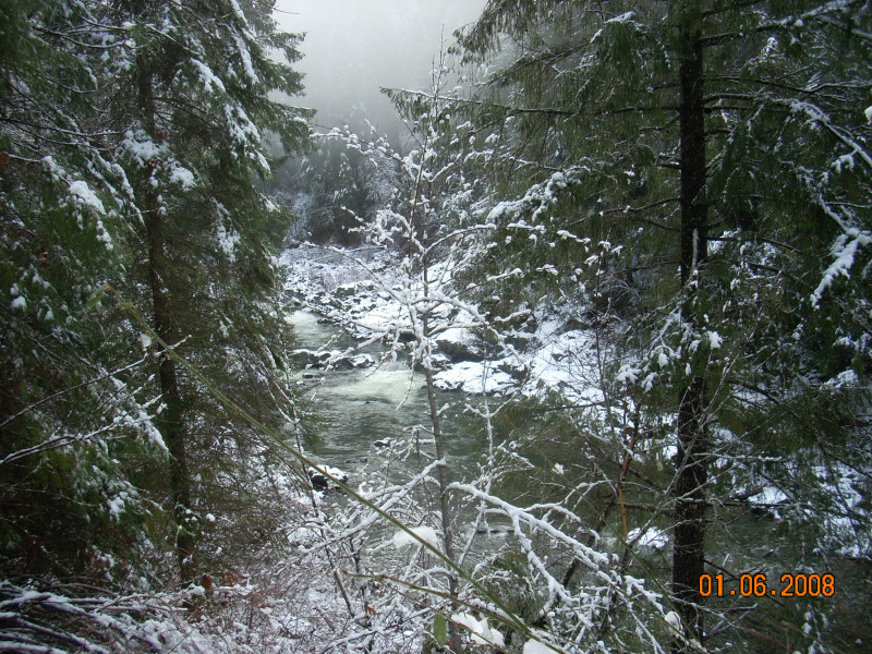
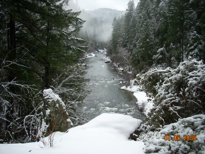
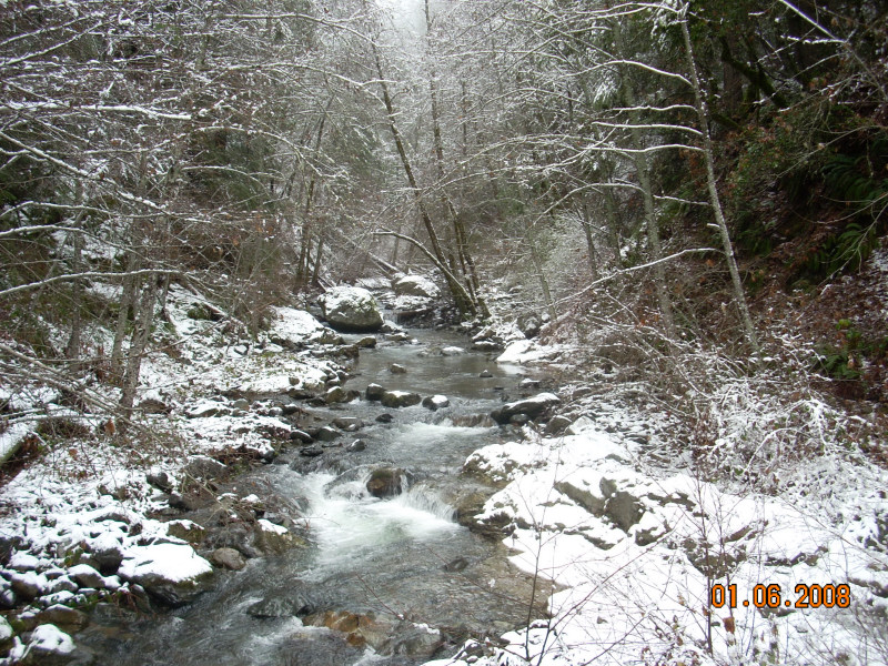
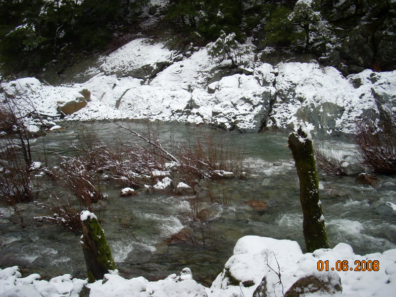
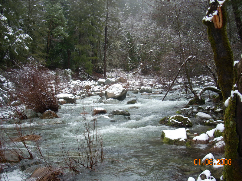
North Fork Yuba River, Canyon Creek Trail, January 2008
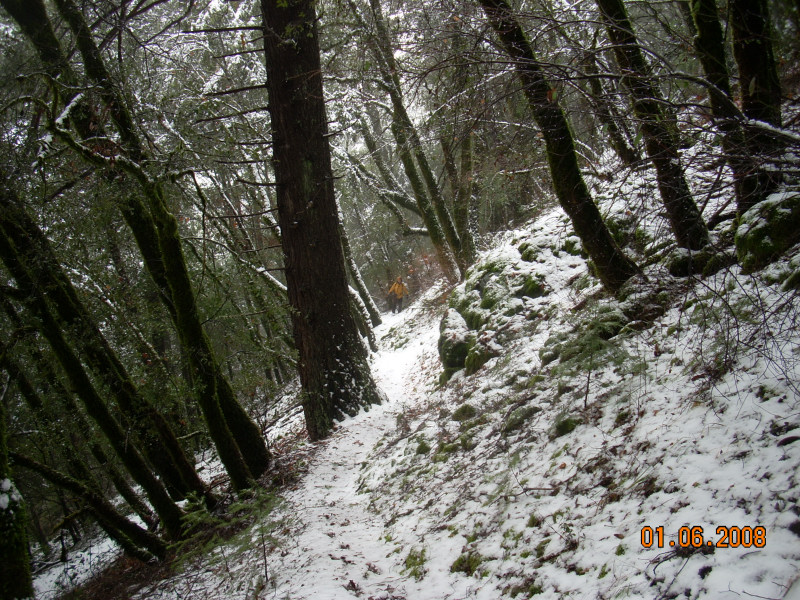
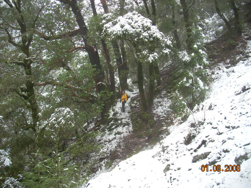
While Richard's project is mainly devoted to cataloging the wildflowers and other life along Canyon
Creek Trail, he also takes some photos of the trail. In January, we put off our hike until the worst of the three-day
storm was over. This looks a lot like it did when we saw it for the first time, four years ago this month. After
hiking this trail nearly every month for four years. Richard is developing a feel for what grows where, and writes
from the perspective of a plant lover, and yes, a tree-hugging dirt-worshiper.
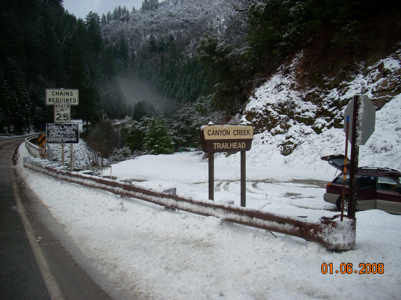
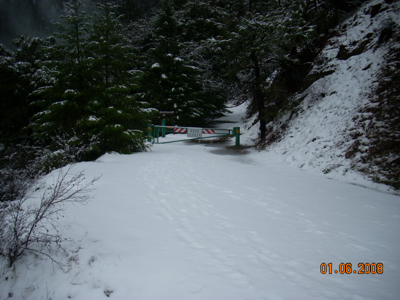


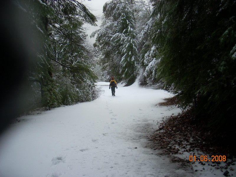
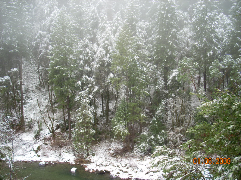
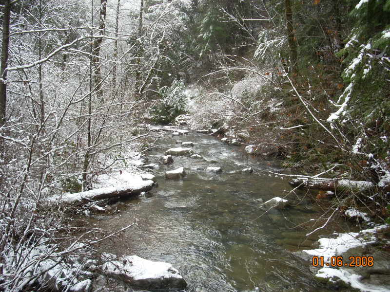
Trailhead to Shenanigan Flat
The trailhead is at the bridge where Highway 49 crosses the North Fork, and there is a wide parking
area. Canyon Creek Trail was once Indian Valley Road, and was passable all the way to Cherokee Creek, but this
is no longer the case, in part because of landslides. Today, only miners with permits are allowed to use what is
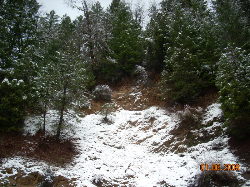
left of the old road. We park on the side nearest the river, because the slide adjacent to the parking area continues
to slough off rocks. It took two pictures to show the slide all they way to the top. This is one of many landslides
along the trail, young and old. Opportunistic plants form interesting gardens on the slides.
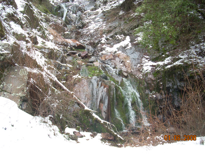
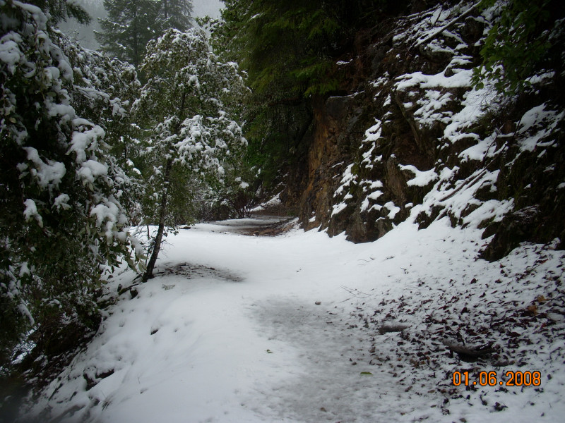
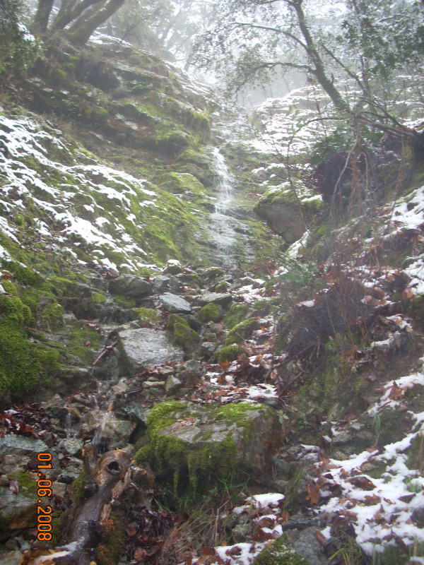
Along the road cut leaving the trailhead, the rock walls seep much of the year, and there is a seasonal cascade.
The seeps result in persistent puddles on the trail, where frogs breed. This is another unique garden of moisture-loving
plants.
Shenanigan Flat, not shown here, is an old miners camp that the Forest Service is in the process of cleaning up.
Average walking time to Shenanigan Flat is 30 minutes, mostly along a westbound trail, on a south-facing slope.
A mountain bike will cut your time in half, depending on how often you stop.
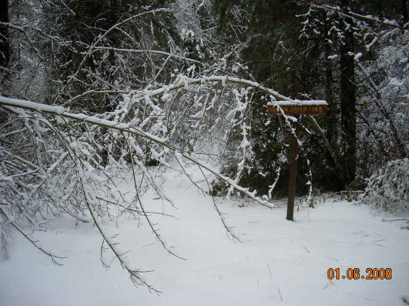
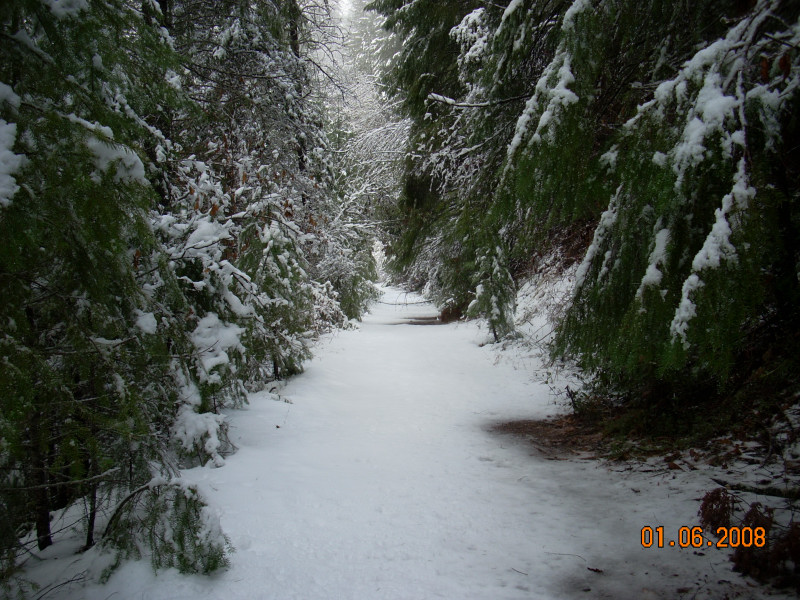
Shenanigan Flat to Cherokee Creek
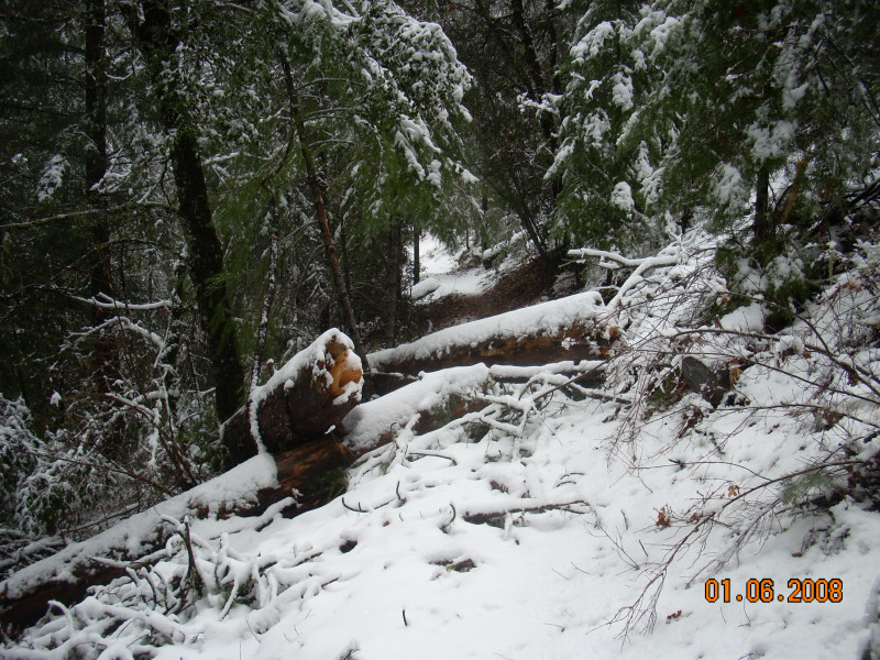
Leaving Shenanigan Flat, the trail along the old road starts to get brushier. This section of the
trail is on a southwest face of the canyon, and again, unique plants are found along this leg of the trail. And
this is where the newest landslides are found. In January of 2004, the first time we hiked this trail, there was
a relatively young landslide that you probably won't ride your bike over. In January of 2006, another landslide
occurred on this section, and the other young slide slid again, in both cases delivering some big trees to the
river. So many opportunistic plants are taking root here, but in winter you can see that these two sections of
the forest are gone. Both of the pictures are looking down the slides, but they start above, and cross, the old
road, which has now become a trail, which Richard has documented in another collection of pictures here.
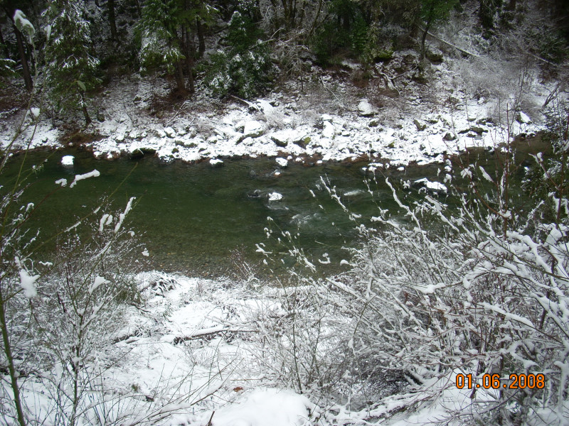
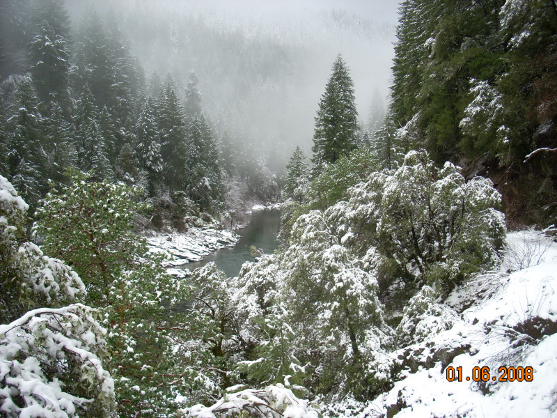
Just above Cherokee Creek, there is a point with a clear view both up and downstream. near the last vestige of
the old road cut. Rounding this point and turning up the creek to the bridge, we encounter a riparian habitat,
which yields yet another unique collection of plants.
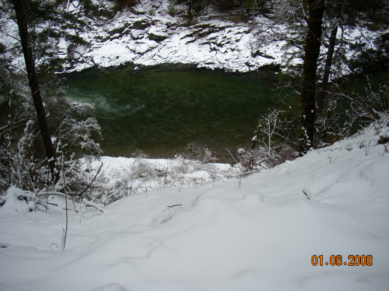
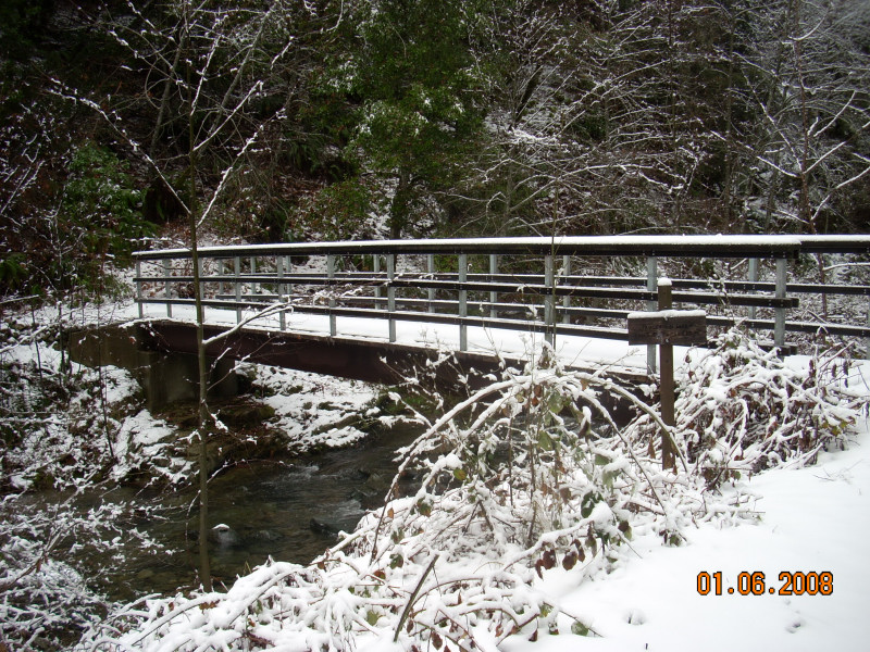
On foot, you are about one hour from the trailhead, depending on dawdle time, and about half an hour on a bike.
You will want to chain your bike to the bridge or a tree near here. Canyon Creek is a destination for some. There
are good swimming and fishing holes on the river here, and on the creek, there is a waterfall upstream, and apparently
some good gold mining holes as well.

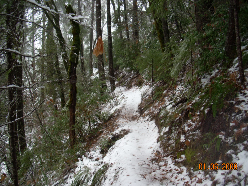

Cherokee Creek to Canyon Creek
Looking up and downstream from the bridge, at Cherokee's riparian zone, where the umbrella plant
is particularly lush. From here, the trail starts to climb until you are a couple of hundred feet above the river.
This part of the trail is less traveled, and we often encounter downed trees, especially after wet, windy storms.
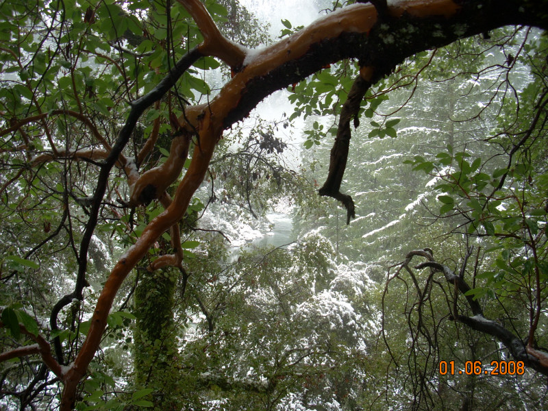
The trail is high and narrow on the steep canyon, and dips into some shallow side canyons. Openings in the forest
here foster yet another unique collection of wildflowers. Dipping into the deep, ferny forest in Brummel Ravine,
The trail reaches it's highest point just before the creek crossing there, about a half hour from Cherokee on foot.
After crossing the creek, you have about a half hour to go to Canyon Creek.
The trail is level leaving Brummel Ravine, until it gets back to the river, where there is a flat that is a good
place to take a little rest, coming or going. From there, we descend steadily to the mouth of Canyon Creek, passing
a seasonal cascade which is lush with flowers in the spring and summer. We cross a unique section of the canyon
that looks a lot like a talus slope, the only place on the trail we see the Sticky Monkeyflower. There are few
large trees on this slope, save an isolated few which are protected by outcroppings of bedrock, like the Grandmother
Madrone, our last landmark.
At it's mouth, Canyon Creek is as wide as the North Fork. The point, where the trail ends, was at least ten feet
under water in the New Year's storm of 2006. There is a choke point just above the mouth, with a wide flood plain
above it. The adventurous can find a little used trail leading upstream, where you will need to use the miner's
ropes to access the floodplain. It is worth the effort to see the unique plants there, and if you are game, there
is a fine swimming hole and waterfall about twenty minutes upstream.
![]()
![]()
This page has been visited
times since January 2008
All contents ©Richard J. Gorman 2007 - 2028
You can write him here.